

LAIRA · Live · Featured by Esri

Pavement and right-of-way intelligence.
In one pass.

LAIRA is a software platform that ingests inspection data and produces audit-ready ASTM D6433, 23 CFR 490, AASHTO, and PROWAG deliverables on one mobilization. The roadway, the sidewalk, the curb ramps, and the markings, in the same scan.

Hero photo
LAIRA on an operations vehicle, three-quarter view, airfield apron or roadway in background, golden hour. 1600×1000 minimum. No people in frame.
±0.7 mm
Crack-width resolution
14× finer than D6433 §X1.14.2.2
±3 mm
Elevation, faulting, depression
Below D6433 §X2.7 smallest threshold
±2 cm
RTK GNSS geolocation
Below D6433 §2.1.7 sample-unit tolerance
< 200 ms
Edge inference per frame
NVIDIA-accelerated, on-device

How it's different

Three procurements collapse to one.

Every ARAN-class incumbent is roadway-only, van-bound, and collect-then-cloud-post-process. LAIRA is what an AI-first sensing platform looks like in 2026.

01

One pass. Three surfaces.

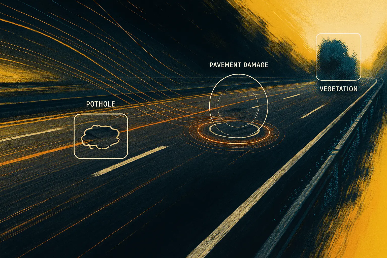
A single LAIRA-equipped drive captures the roadway, the sidewalk, and the curb ramps in the same continuous scan. Every ARAN-class incumbent is roadway-only. Sidewalks and curb ramps are a separate procurement, today.

02

Quantified. Cited. Audit-ready.

Every measurement carries a citation chain back to the standard it satisfies. The output is a section condition report a State DOT QA reviewer can audit line by line.

03

Software-first. AI-native. Edge.

NVIDIA-accelerated inference on-device, under 200 ms per frame. New distress classes, new standards, new export formats push to the fleet over the air. No return to base for firmware updates.

The platform

One model.
Three ways to feed it.

All three tiers publish to the same ESRI feature service with an accuracy_tier field on every record. One schema, three input pipelines, no migration.

Tier 01 · Cloud SaaS

Vision Lite

Pricing scoped at contract · In active development
  • Customer-supplied video (dashcam, drone, smartphone, fleet camera)
  • Geo-tagged detections published to your ESRI feature service
  • Screening-grade output; not for compliance audits
  • Cloud post-process, no hardware shipped
Book a preview →
Tier 02 · iOS

Capture

Pricing scoped at contract · In active development
  • Native iOS app on Airwai-issued iPhone Pro
  • Sensor fusion (camera + GPS + IMU + ARKit/LiDAR)
  • Works in GPS-denied environments via VIO
  • Inspector-grade field capture
Book a preview →

Next step

30 days. One corridor.
Your vehicle. Your GIS endpoint.

The pilot is an audit-ready D6433 + 23 CFR 490 section report against the corridor or parking lot of your choice, with the per-section data delivered to your ArcGIS feature service.